AG
Agricultural District
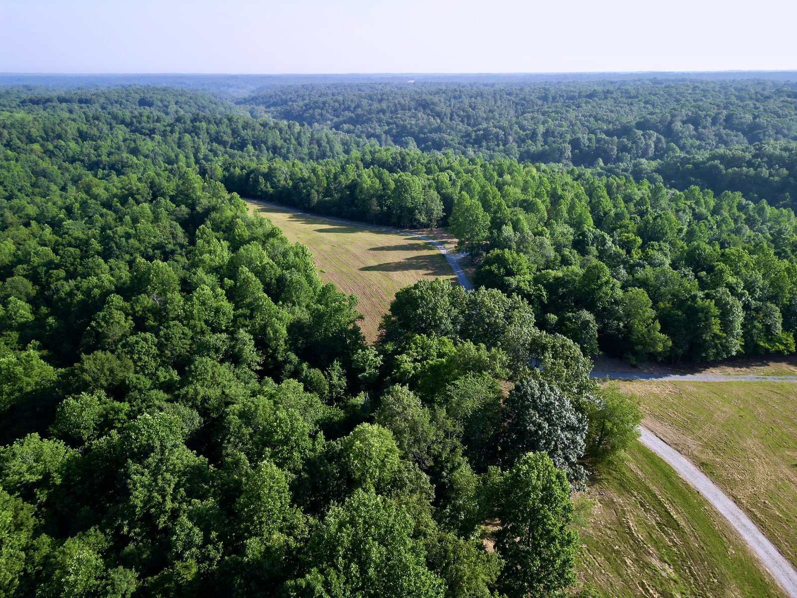
Implements natural conservation and interim non-urban land use policies from Metro's general plan. Applied to areas unsuitable for urban-scale development due to severe environmental constraints, steep topography, potentially unstable soils, or flood propensity. Permits single-family, two-family, and mobile homes at very low density. Minimum 5-acre lot. Primarily concentrated in outer northwest Davidson County — Joelton, Whites Creek area, tracts along the Cheatham County line.
CoverageOuter northwest Davidson — Joelton, Whites Creek, Eatons Creek corridors
AR2a
Agricultural Residential District
A transitional agricultural district designed for areas not yet urban but positioned between the rural AG fringe and suburban residential zones. Minimum 2-acre lot. Permits single-family, two-family, and mobile homes. Intended for areas where public sanitary sewer and water supply are not yet practical. Like AG, the AR2a district is concentrated in the outer county but appears closer to existing development nodes than pure AG zoning.
CoverageTransitional areas between outer AG zone and suburban RS districts
RS Series
Single-Family Residential Districts (RS80–RS3.75)
The RS series governs the vast majority of Davidson County's residential land. RS80 (80,000 sq ft) through RS3.75 (3,750 sq ft) covers established neighborhoods from large-lot suburban (Bellevue, Bordeaux, outer Goodlettsville) down to urban infill lots in east and north Nashville. The -A variant districts (RS7.5-A, RS5-A, RS3.75-A) require walkable building placement standards while maintaining identical density to their companion districts.
CoverageMajority of unincorporated and suburban Davidson County residential land
RM Districts
Multi-Family Residential Districts
Metro Nashville's RM (multi-family) series is measured in units per acre rather than minimum lot size: RM2 (2 units/acre), RM4, RM6, continuing through higher densities. Multi-family zoning in Davidson County is concentrated along growth corridors, near transit nodes, and in Urban Design Overlay and Planned Unit Development areas. Relevant for assemblage plays and density-seeking development strategies in the urban core and close-in suburban corridors.
Key FactDensity measured in units/acre · Concentrated along transit and growth corridors
Commercial & Industrial
Commercial, Office & Industrial Zones
Commercial (CS, CN, CL, CF, CA, CB, CC) and office (OR, OL, OG, ORI) districts are concentrated along major corridors — Murfreesboro Pike, Nolensville Pike, Lebanon Pike, Gallatin Pike, Charlotte Pike, and Briley Parkway. Industrial zoning (IWD, IR, IG) is concentrated in the Whites Creek industrial corridor, along the Cumberland River, and in north Nashville. The Downtown Code (DTC) governs development in the urban core under a separate framework.
Key CorridorsMurfreesboro Pike · Gallatin Pike · Charlotte Pike · Whites Creek industrial area
Opportunity Zones
Federal Opportunity Zone Designations
Davidson County has 18 federally designated Opportunity Zones — among the highest concentration in Middle Tennessee. Zones are concentrated in north Nashville, the Murfreesboro Pike corridor, east Nashville near Five Points, Wedgewood Houston, Metro Center, and the east bank of the Cumberland River. OZ designation enables tax-advantaged capital gains investment through Qualified Opportunity Funds — relevant for developers and investors targeting these specific census tracts.
Count18 designated Opportunity Zones in Davidson County · North Nashville, east Nashville, Murfreesboro Pike
Our Take
Davidson County's zoning map tells you exactly how Nashville's growth story has played out — AG and AR2a in the outer northwest is the last frontier for true acreage, the RS series fills in the suburban ring, and the urban core is a complex mix of RS, R, RM, and commercial zoning with overlays layered on top. For land buyers, the practical question is always: what is the highest-density use this zoning supports, and what would it take to rezone? In Davidson County more than anywhere else in my market, the rezoning path is real but it runs through the Metropolitan Planning Commission and takes time. Know that before you make an offer on anything you intend to develop.