AR — Agricultural Reserve
Agricultural Reserve District
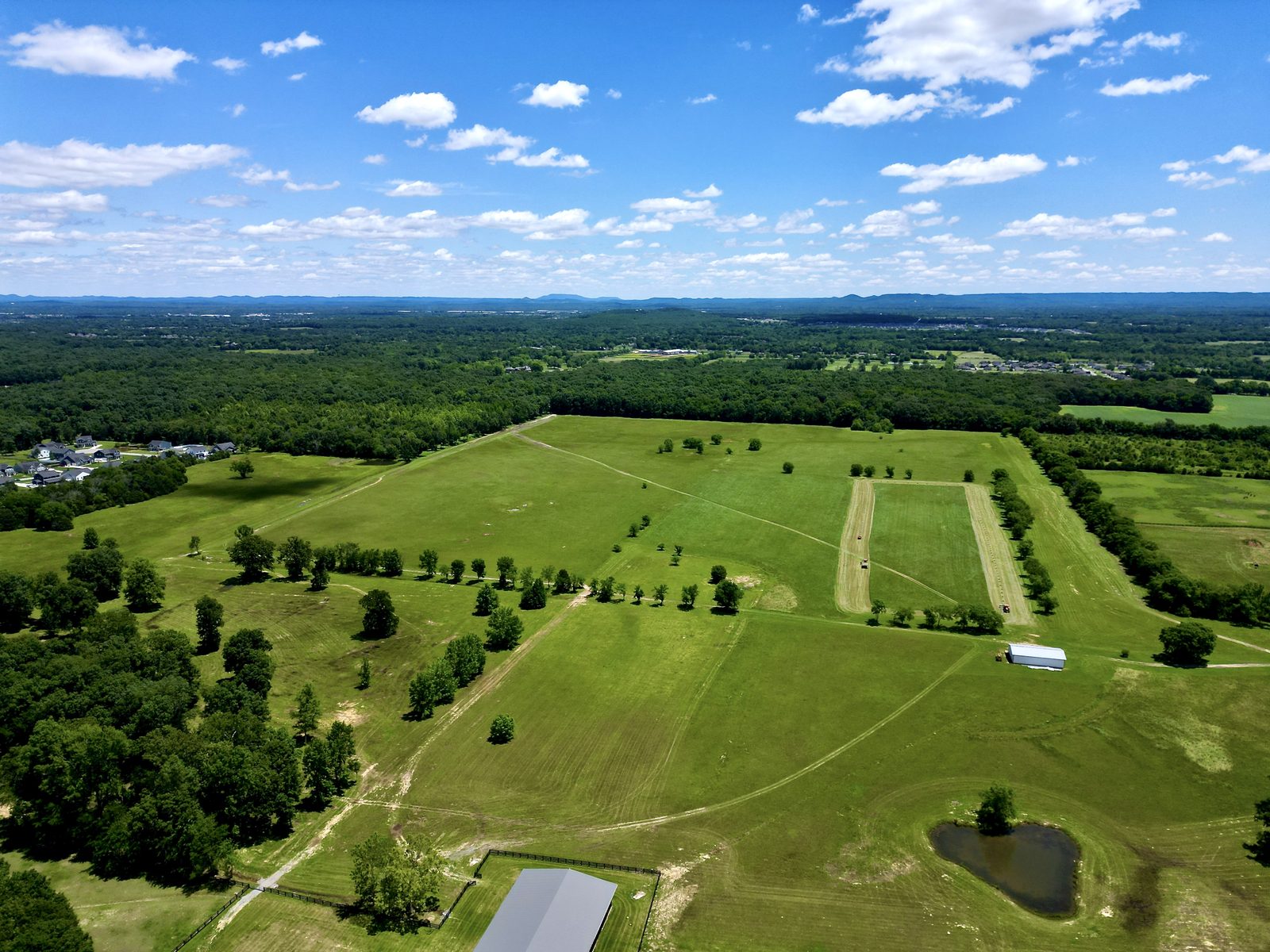
The county's large-tract rural district. Designed for crops, animal husbandry, dairying, forestry, and related activities, as well as lands not suited for development due to soil, geologic, or topographic limitations. Community facilities and major recreational facilities requiring large land areas are also appropriate here. Applied at property owner's request on tracts of 15 acres or more in any comprehensive plan character area. The 15-acre minimum is consistent with state Greenbelt law.
CoverageCovers large unincorporated rural parcels throughout the county
RR — Rural Residential
Rural Residential District
Designed for low density residential development characterized by open appearance. Single family detached dwellings, accessory structures, community facilities, public utilities, and agricultural activities are all permitted. Applied in rural and suburban character areas per the comprehensive plan. Standard minimum is 40,000 sq ft, escalating to 5 acres where public water is unavailable. This is the dominant district for suburban-edge properties around Hendersonville, Gallatin, and Portland.
CoverageDominant district in suburban-edge and rural unincorporated areas
SR — Suburban Residential
Suburban Residential District
Medium density residential development where urban-type services are available or can be facilitated prior to development. Primarily single family detached, with community facilities, utilities, and agricultural activities also permitted. Applied in suburban and high growth character areas. Minimum lot is 20,000 sq ft (residential) or 40,000 sq ft (other uses). Sidewalks are required for all uses in the SR district, and all utilities must be underground on newly constructed neighborhood streets.
CoverageSuburban growth areas near municipalities where urban services exist
CN / CS / CG
Commercial Districts
Three commercial tiers: CN (Commercial Neighborhood, 15,000 sq ft minimum) for smaller-scale retail near residential areas; CS (Commercial Service, 20,000 sq ft) for a wide range of retail and consumer services; and CG (Commercial General, 25,000 sq ft, 45 ft max height) for the most intensive commercial activities including automotive sales, entertainment, warehousing, and limited assembly. Commercial development is concentrated along US-31E, US-31W, Long Hollow Pike, and within municipality corridors.
Key CorridorsUS-31E (Hendersonville), US-31W (Gallatin), Long Hollow Pike corridor
LI / HI
Industrial Districts
LI (Light Industrial, 40,000 sq ft minimum) requires all operations within enclosed buildings. HI (Heavy Industrial, 80,000 sq ft minimum, 50 ft max height) accommodates manufacturing with significant external effects or hazardous materials involvement. Industrial zoning is concentrated in the Gallatin industrial park area and select corridors near the county seat. The Gallatin industrial park has been a major growth driver — this is where industrial land demand is highest in the county.
Key LocationGallatin Industrial Park area · LI: 40,000 sq ft min · HI: 80,000 sq ft min
OP / IN
Office & Institutional Districts
OP (Office Professional, 20,000 sq ft minimum) provides for low-intensity office development and compatible commercial uses, and may serve as a transitional zone between residential and commercial areas. IN (Institutional, 1 acre minimum) accommodates governmental, community assembly, recreational, and institutional uses where a separate zoning district is appropriate. Both require underground utility connections and sidewalk provisions.
Key FactOP: 20,000 sq ft min · IN: 1 acre min · Both require underground utilities
Our Take
The Sumner County zoning code was completely rewritten and modernized — the 2023 resolution is significantly more structured and comprehensive than the old code. For buyers, the key thing to understand is that AR is the only district where you can acquire large contiguous agricultural ground with no neighbors at RR densities subdividing around you. If long-term land preservation matters, go AR. If you want more flexibility on smaller tracts closer to growth, RR with confirmed public water access is the move.